

Elevate Your Seattle Real Estate Listings with Aerial and Drone Photography!
In the competitive real estate market of Seattle, Washington, standing out is key. That’s where aerial and drone photography come in! Here’s why:
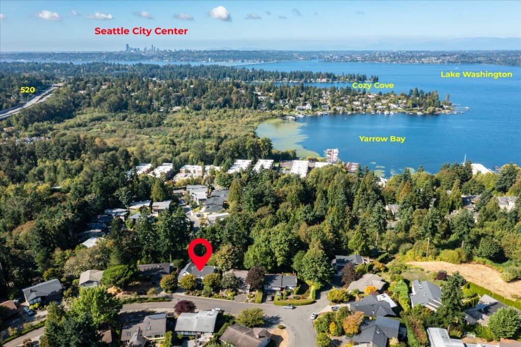
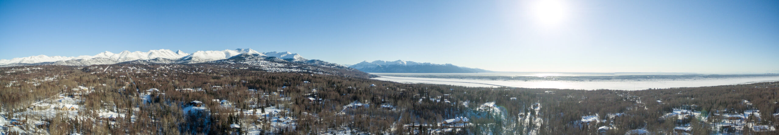
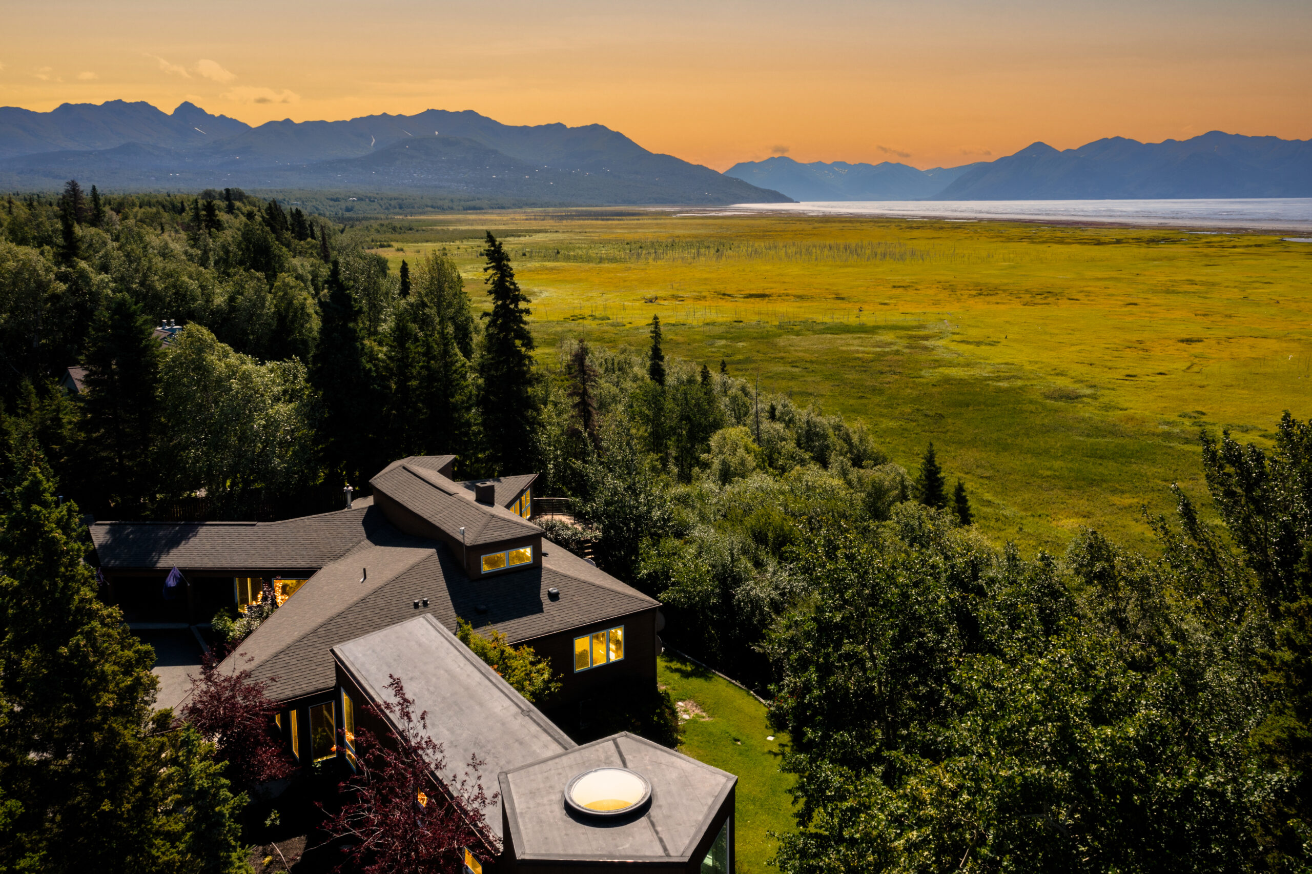
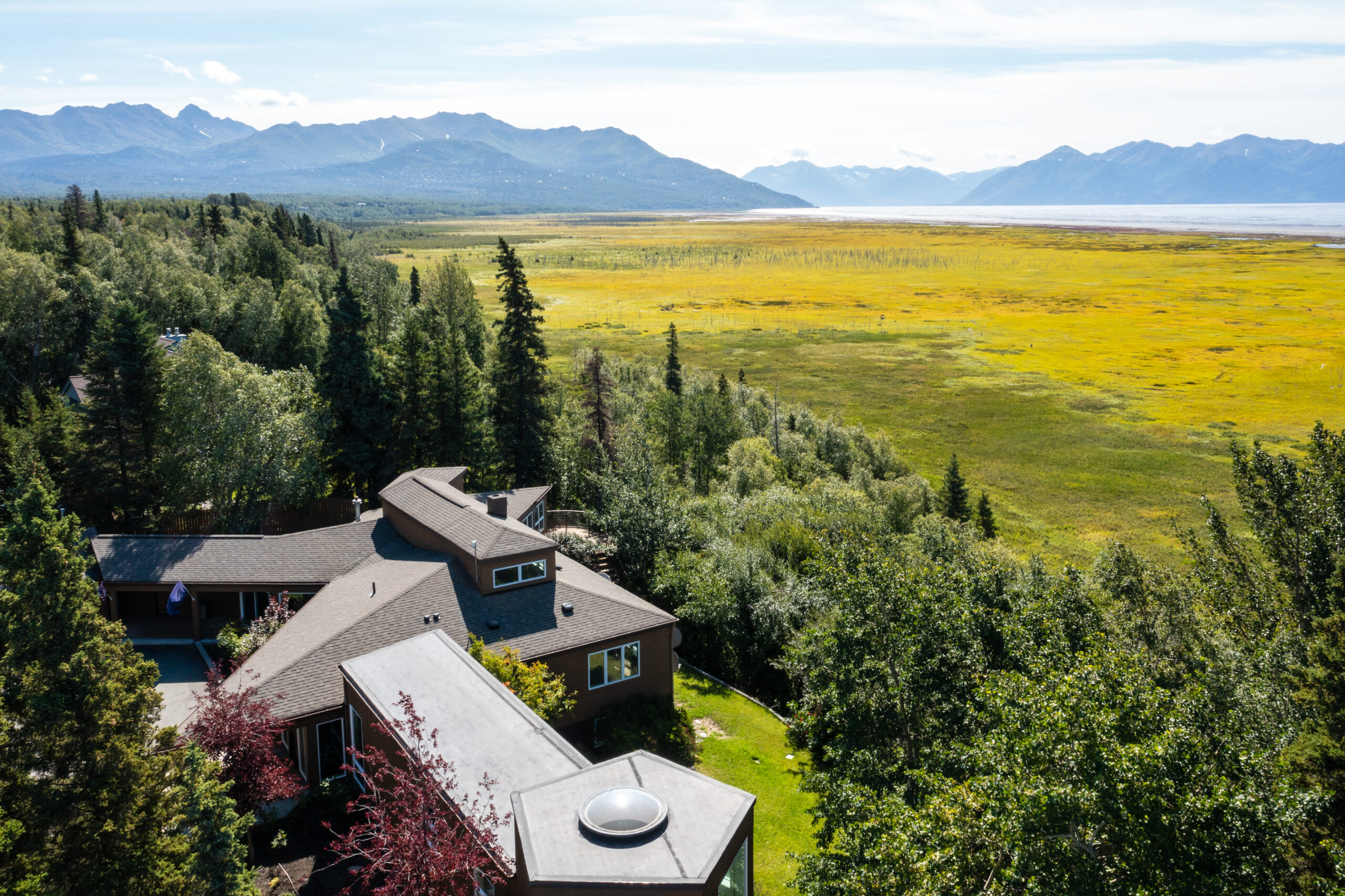
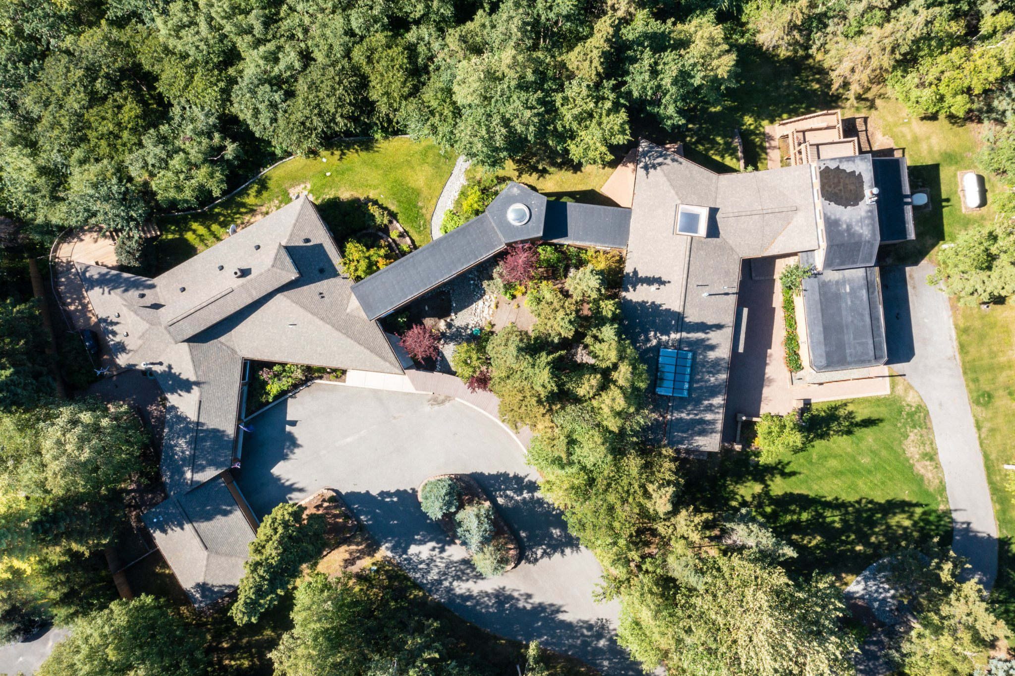
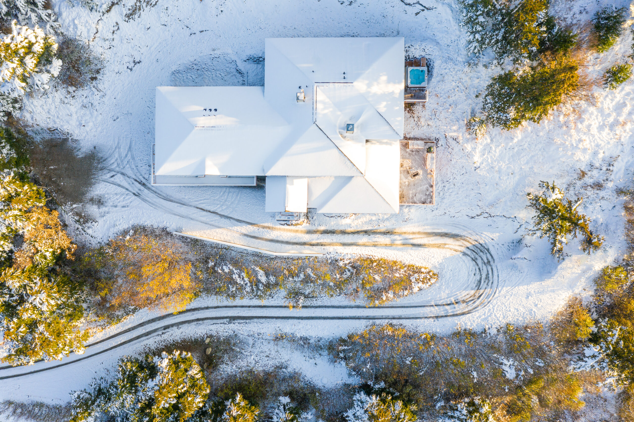
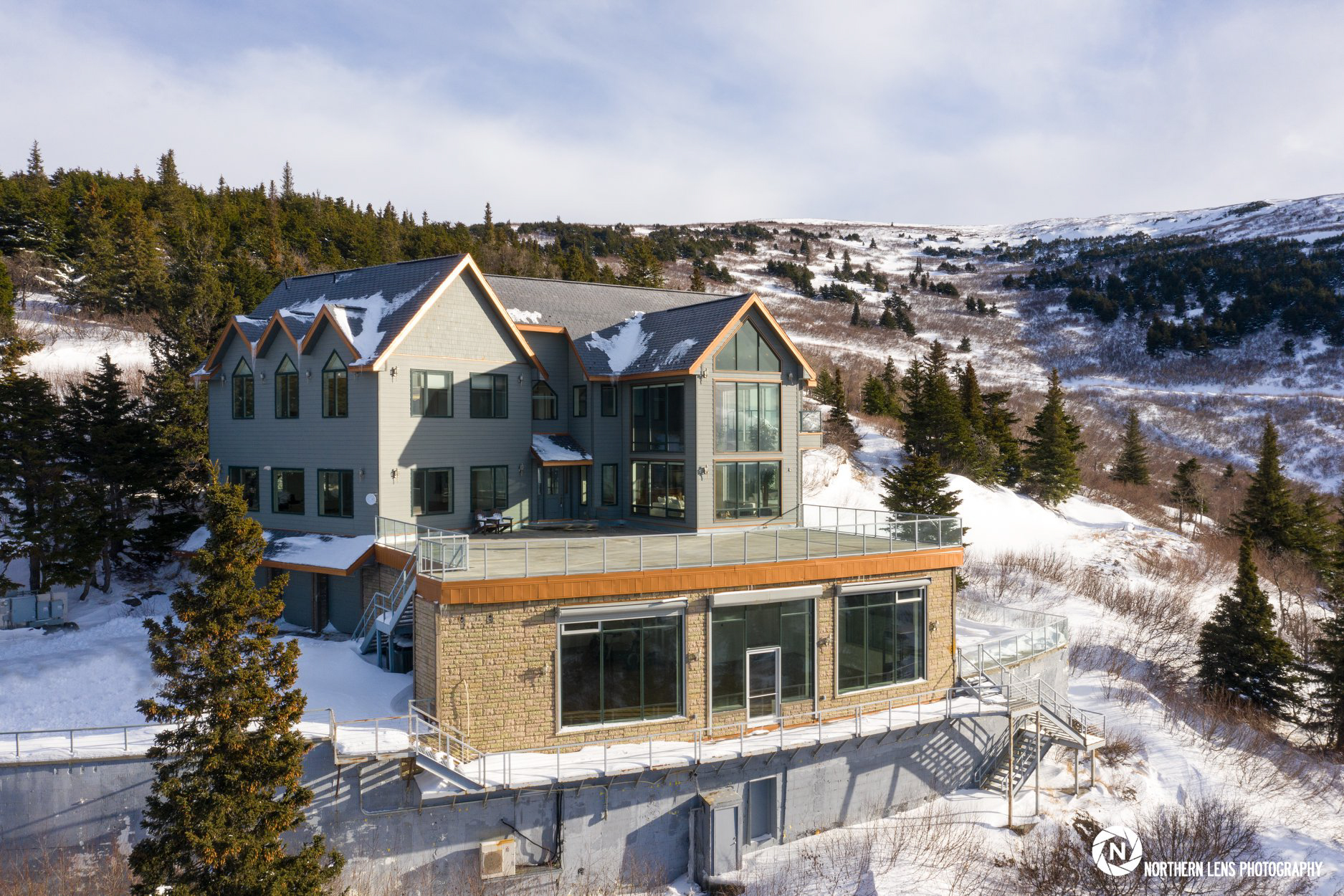
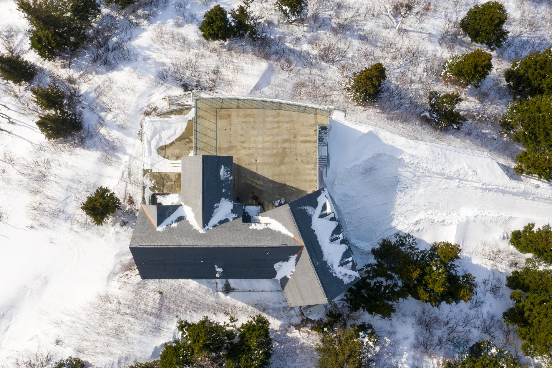
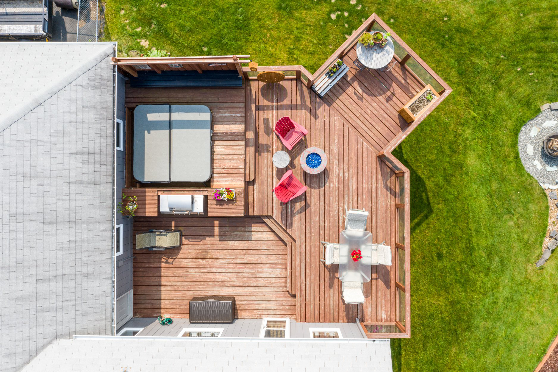
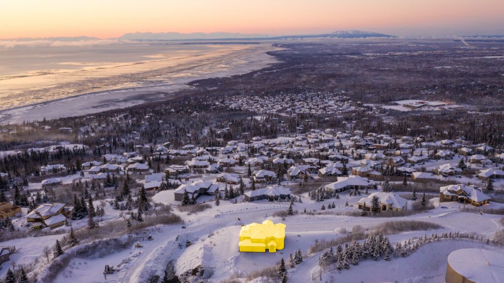
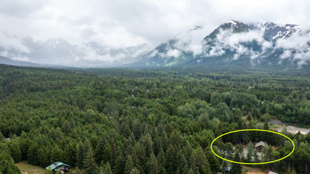
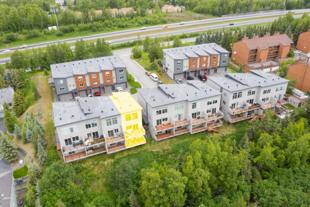
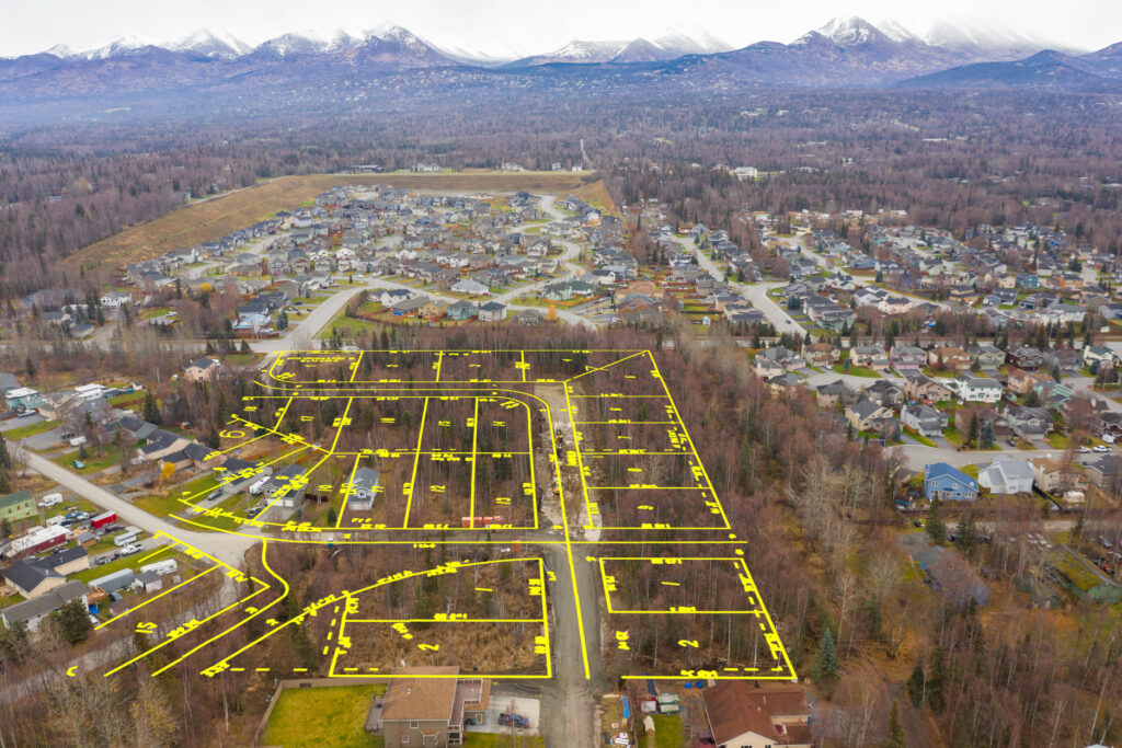
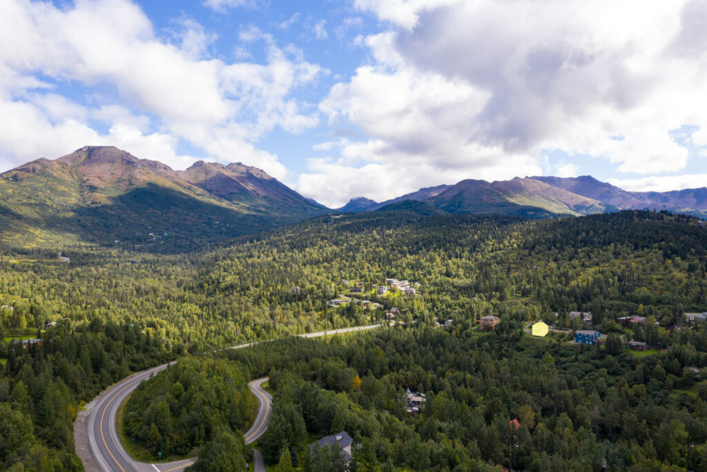
- Unmatched Perspectives: Aerial photography provides potential buyers with a bird’s-eye view of the property, showcasing the home’s layout, the size of the lot, and its relation to the neighborhood or nearby landmarks.
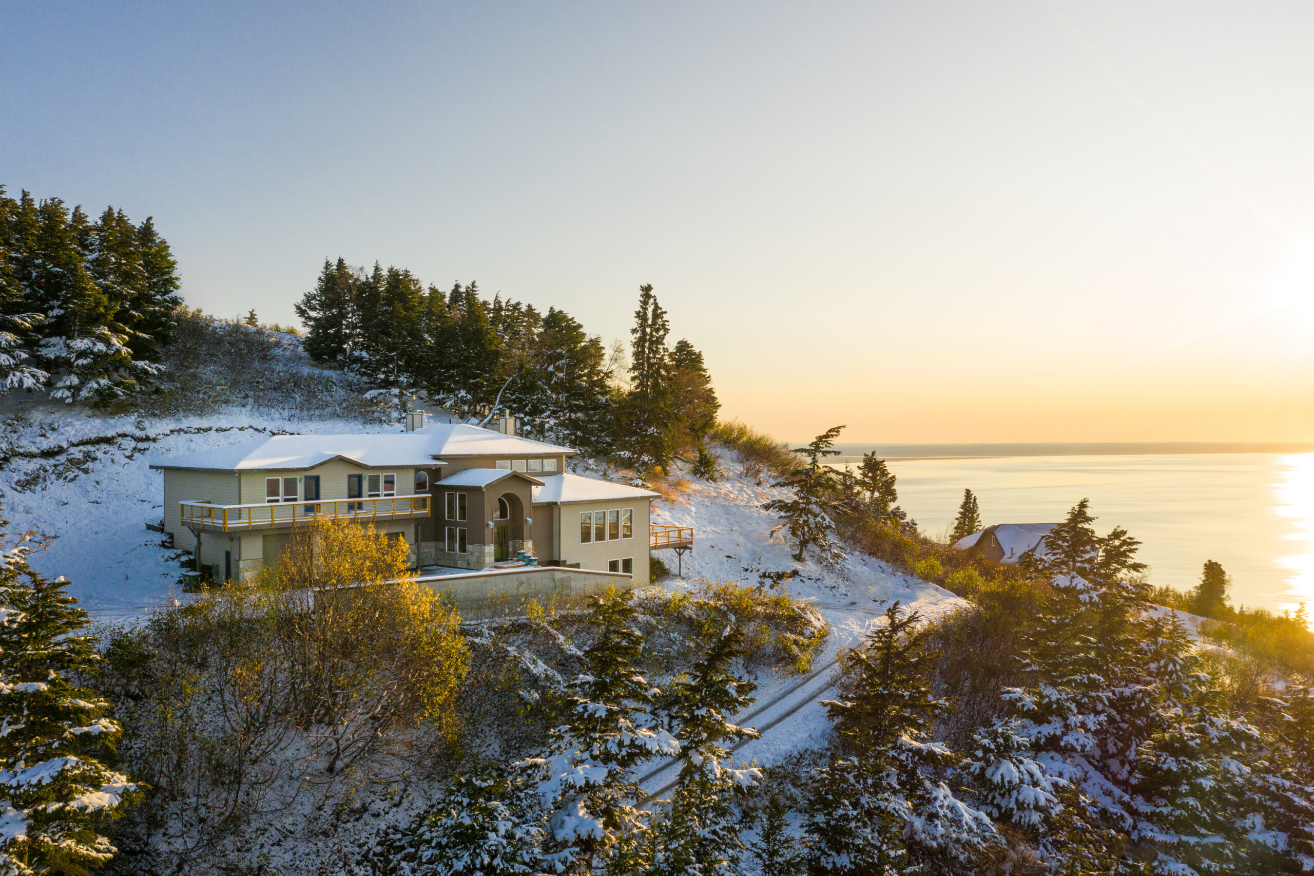
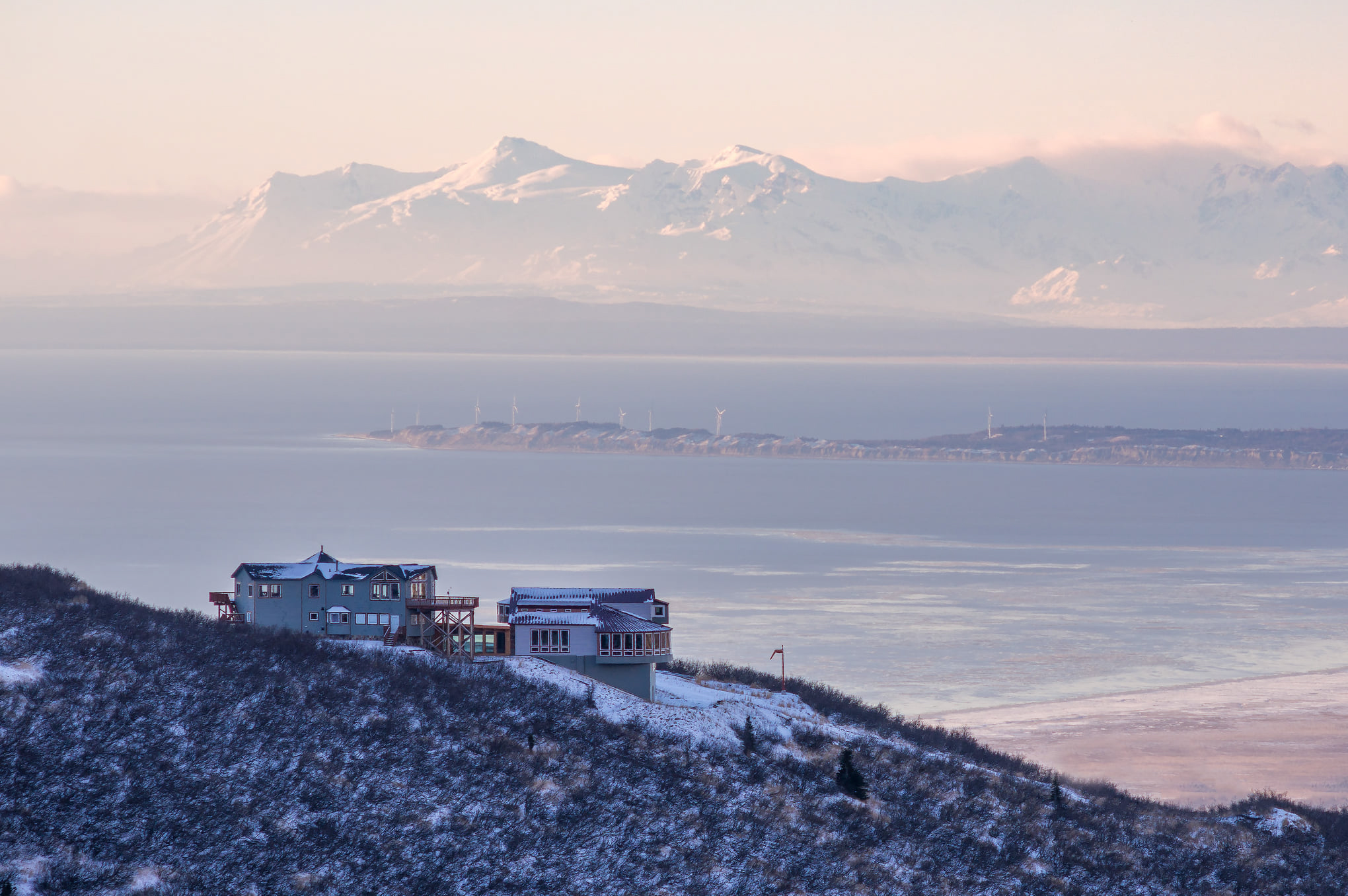
- Highlight the Location: Seattle is known for its stunning landscapes, from the sparkling Puget Sound to the majestic Mount Rainier. Aerial shots can capture these breathtaking views that are often part of the property’s appeal.
- Effective Marketing Tool: High-quality drone photos and videos can significantly enhance your listing’s attractiveness, leading to more inquiries and quicker sales.
- Detailed Inspection: Drones can also capture high-resolution images of hard-to-reach areas like roofs and upper floors, providing a thorough visual inspection for potential buyers.
- Virtual Tours: With drone footage, you can offer immersive virtual tours that allow potential buyers to experience the property from the comfort of their homes.
Elevate your listings, captivate potential buyers, and close sales faster with aerial and drone photography. It’s not just about selling a property; it’s about providing a unique perspective of what living in Seattle truly offers!